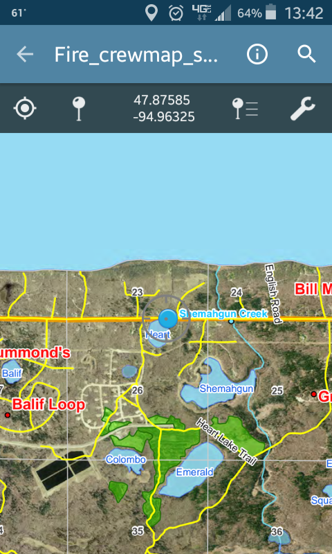
The Red Lake Forestry GIS (Geographic Information System) is responsible for providing a forest mapping services, as well as providing information about the Red Lake Nation’s vast forests. . A GIS database is maintained with the general descriptions of the forest coverages on tribal lands, as well as several different sets of aerial photography of tribal and non-tribal lands.The Inventory/GIS department cooperates with all other departments of forestry to share data so each department has accurate data for management planning and general field operations. Data collected is analyzed and placed into a networked database. Forest inventory monitors for invasive forest pest species like Gypsy Moth and Emerald Ash Borer in cooperation with federal and state agencies.
The forest inventory department consists of a team of foresters who collect data from timber compartments and stands within Red Lake forests. A forest stand is a relatively similar grouping of plant species (for example, a 5 acre group of 100 year old white pine trees would be a different stand than a 15 acre group of 10 year old aspen saplings.) To keep track of all of the forest resources, each stand is assigned a unique number. Each stand is tracked based on species composition, size, area, age and general health. This base valuation is necessary for developing forest management plans, damage appraisal, and assessing overall forest productivity and forest health.


